Two Climatologists Weigh In On the “New Normal” for Farmers
by Chaunce Stanton
Marketing Manager
“You had a great growing season, right?”
The farmers in the room erupted in grumbling at Dr. Dennis Todey’s question.
“The 2019 growing season would have been pretty good if we could have lopped off the spring and the fall,” Dr. Todey told the audience.
“The summer wasn’t all that great, either,” An Iowa farmer in the audience countered.
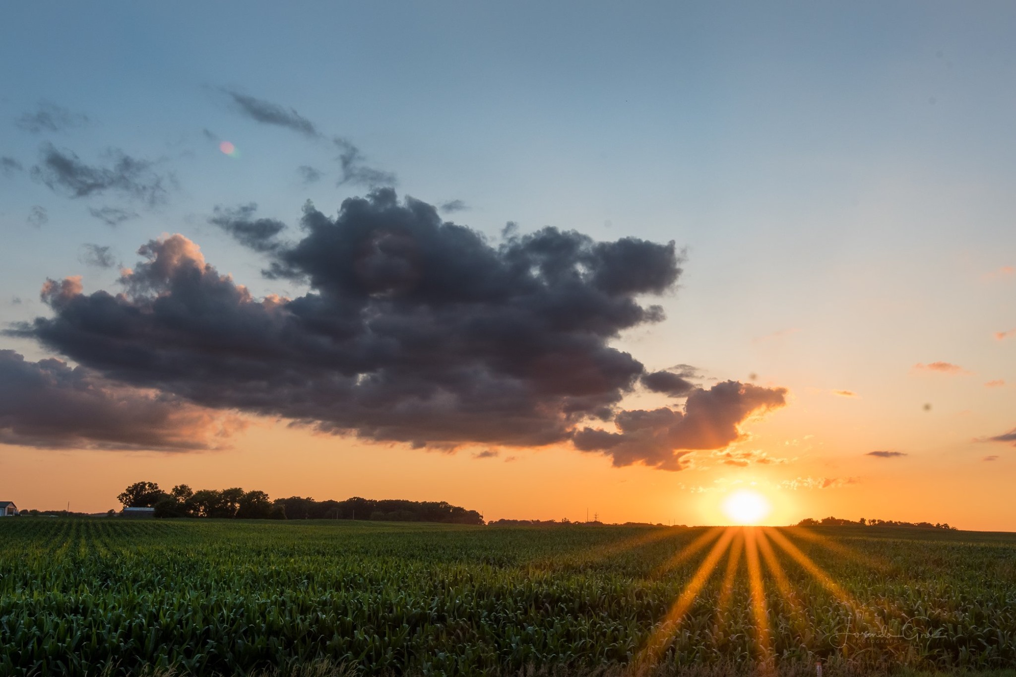
Farmers had a tough growing season in 2019. The hundreds of farmers and other ag professionals were in attendance to hear Dr. Todey (Director of the USDA Midwest Climate Hub) and a variety of other speakers at the two-daylbert Lea Seed 2019 Annual Farm Conference.
Dr. Seeley said that 2019 probably will be recorded as the wettest year in Minnesota since statehood in 1858.
More Minnesota counties are reporting over 40 inches of precipitation this year than in any other year in our history. We’ve never had a discharge volume on our watersheds so consistently high as we have had during 2019, and it’s still not really receded to anywhere near normal. This is disconcerting in the sense that it’s also a marker of how wet the overall landscape is and what the potential flood threat might be next spring if we have a normal or above normal precipitation load fall on our landscape over the coming winter.Dr. Mark Seeley
He also added that 2019 likely will be the coldest year in Minnesota since 1996.
Both climatologists have researched the region’s climate data and identified startling trends in temperature, precipitation, and weather extremes that will add stress to Midwest agricultural operations and our natural resources.
THE FUTURE: WETTER AND WARMER
Since 1895, farming in the Minnesota region has had a fairly random distribution of temperature and precipitation levels across the state, but when Dr. Seeley narrowed the data set to just 1987 to the present, those temperature and precipitation levels begin to skew toward warmer and wetter conditions.
We have had record-setting wet and record-setting warmth since 1987. Our wettest years in Minnesota history were in 2010 in 2016, and just last year (2018), two locations recorded the all-time highest annual precipitation measurements in Minnesota’s history. 60 inches of annual precipitation on the Minnesota landscape is on par with Tallahassee, Florida. I’m going to be 73 years old, but probably yet in my lifetime, some place in the state will get 70 inches of precipitation.Dr. Mark Seeley
Dr. Seeley added that, in general, we’re seeing more daily records broken across the Minnesota observational network, which suggests rapid changes in temperature and precipitation patterns.
I discovered that in nearly 10-year period (2006 – 2015), Minnesota had set more than 17,000 new daily climate records in our observational network and we had set 165 new statewide records. The changes in these climate attributes of temperature and precipitation used to occur over thousands of years, but now this pace of change is occurring decade by decade.Dr. Mark Seeley
WARMING TEMPERATURES: CROPS & LIVESTOCK EFFECTS
We now have individual climate histories in Minnesota that are not just three or four degrees warmer than they were a century ago: they are five to seven degrees warmer than they were a century ago on an annual basis. Minnesota is not experiencing this in isolation. Wisconsin’s temperature trend is at about the same magnitude, and in Michigan. The central geography of our country the important agricultural geography of our country is all showing a signature of temperature change that is dramatically upward. Even if we dissect the year into its typical seasons, we find upward trends in the temperature signal in all four seasons of the year, but the temperature signal is most dramatic in winter.Dr. Mark Seeley
Winter is warming, which can affect the movement of soil and soil nutrients, but it also can start affecting insect populations. And in summer, overnight temperatures are warmer, which creates dew and can increase crop disease pressure. The daily average minimum temperatures are changing more than our daytime maximums, which has biological consequences for specific types of crops. In other words, the temperature lows are getting higher. In the summer, for example, this might mean that nighttime temperatures are cooling off as much as they used to, which affect plant respiration. Our crops respire at night, and they give up some of the dry matter they’ve accumulated through photosynthesis during the day. The net gain in dry matter in those crops is diminished by higher nighttime respiration rates. Those high overnight temperatures also put extra stress on livestock who don’t get a chance to cool down.Dr. Dennis Todey
MORE MOISTURE IN THE ATMOSPHERE
Meteorologists measure the total water vapor content in the atmosphere to develop quantified precipitation forecasts (QPF). Since 1991, the atmosphere has warmed, and its capacity to hold water vapor has increased, allowing for higher precipitation events.
The frequency that we get the two-inch rain across northern Iowa and southern Minnesota has nearly doubled in your lifetime. The frequency of severe thunderstorms is getting higher as we look at higher latitudes. Southern Minnesota counties now have the same number of severe thunderstorm days on an annual basis as central Oklahoma used to have.Dr. Mark Seeley
Rainfall and precipitation levels in general are the biggest changes we’re seeing in weather and climate right now. We’re getting more moisture in the Midwest from the Gulf of Mexico, which translates into more rainfall. Plus we’re getting more big rainfall events in the spring and fall. We’ll see more of run-off, which leads to more soil and nutrient loss, and to water quality issues. Additionally, wet soils take longer to freeze, because soil moisture retains heat, and then that same soil takes longer to thaw.Dr. Dennis Todey
Higher Dewpoints
According to Dr. Seeley, an air mass with a 70-degree dew point is considered a tropical airmass.
MS: “We’re seeing a higher frequency of days that bring 70-degree dewpoints, he said. Those higher dewpoints push up the heat index for those blistering “real feel” forecasts of 105° F or 110° F. Consider the granddaddy of all heat waves, back on July 19 and 20 of 2011, which still hold the records for the all-time highest heat index values measured in Minnesota. 97° F at 4 p.m. with an 88° F dew point gave Moorhead, Minnesota a 134° F heat index. That was certified by the National Weather Service Extremes Committee as tying for the highest heat index ever measured in the U.S., which was Furnace Creek in Death Valley, California.”Dr. Mark Seeley
Furnace Creek in Death Valley, California
MORE EXTREME RAINFALL EVENTS
A mega-rainfall involves six-inches of rain falling on at least 1,000 square miles in a 24-hour period.
In approximately the first hundred and thirty years of Minnesota history, from 1858 to 1987, we had seven documented cases of mega-rainfall storms in our climate records; however, since 2002, we’ve had seven more.Dr. Mark Seeley
On Day 2 of the conference, Dr. Todey explained that multiple storms essentially are following the same paths in a phenomenon known as storm training.
Storms are moving slower, and they’re being ‘trained’, meaning multiple storms will follow the same path.Dr. Dennis Todey
MORE SIMULTANEOUS, “OPPOSITE” EXTREMES
Dr. Seeley pointed out that we’re going to see more anomalies in the weather event spectrum that bring seemingly opposing events together within a short timeframe or relatively close geographic distance.
In 2012, more than 2,000 American counties declared drought disaster, which was the largest declaration of drought in US history and the largest since 1936, but at the same time, other those counties were declared by FEMA as federal flood disasters.Dr. Mark Seeley
He also pointed to Lac Qui Parle and Lyon Counties in western Minnesota, where, on March 31, 2014 at the same moment (4 p.m.) – they simultaneously experienced a blizzard warning and a tornado warning.
2019-2020 WINTER OUTLOOK
Dr. Seeley suggested that the winter outlook for this year2019-2020 is very uncertain.
We’ve been wrestling with the seasonal outlook models. This year they’re all over the place. All thirteen seasonal outlook models are giving us different answers, and when that happens, you might as well just flip a coin.Dr. Mark Seeley
But Dr. Todey offered that there was a slight chance for statistical likelihood for increased precipitation in the entire Upper Midwest from December to April.
We’re concerned about that. There’s no capacity in the soil, rivers, or streams right now to take on additional water. It also looks like we’ll experience late winter cold temperatures.Dr. Dennis Todey
OUTLOOK FOR SPRING 2020
Dr. Todey warned that forecasts are projecting higher-than-average winter precipitation, spring of 2020 likely will produce widespread flooding.
Be very concerned about next spring. Soils going into winter already are saturated with moisture. I also don’t expect much early field work being possible.Dr. Dennis Todey
Many hydrologists are anticipating – not just a wet spring in 2020 – but maybe even the threat of flood in many areas.Dr. Mark Seeley
HOW FARMERS CAN PREPARE
Do things to take care of your soils. If you don’t manage your soils for these changing climate conditions, you’ll lose soil and soil nutrients. The things we used to do that work just won’t work anymore because we’re getting more rainfall.Dr. Dennis Todey
He recommended using cover crops, reducing tillage, and reconfiguring seasonal field work to protect the soil.
We need to pay attention to what’s happening here. We’ve got to do what our predecessors did paying attention and adapting. It’s an absolute mandate, and with this pace of change going on, we can’t ignore this.Dr. Mark Seeley
Get news and updates delivered to your email inbox.
By submitting this form, you are consenting to receive marketing emails from: Albert Lea Seed. You can revoke your consent to receive emails at any time by using the SafeUnsubscribe® link, found at the bottom of every email. Emails are serviced by Constant Contact